SOURCE: CNN-NEWS18
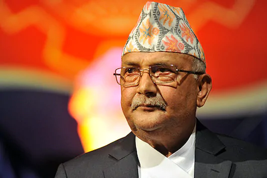
Nepal law Minister Shiva Maya Tumbahamphe tabled the constitutional amendment bill, to update the map of Nepal, in the House of Representatives on Sunday. The tabling of the bill is crucial as it indicates that the KP Sharma Oli government is confident of its passage in the house. A discussion on the bill in Parliament is yet to take place. The bill seeks to modify the Nepal map to include Indian territories of Limpiyadhura, Kapalpani and Lipulekh, which Nepal claims as its own.
The move was made after the central committee of the main opposition party, Nepali Congress, in a meeting on Saturday directed its parliamentary party to vote in favour of the bill. The bill couldn’t be presented in Parliament on Wednesday as the Nepali Congress had sought more time to discuss the matter internally. Since, it’s a constitutional amendment bill and requires 2/3rd majority, the Oli govt put it on temporary hold.
With the crucial support of Nepali Congress, the Oli government will likely be able to pass the bill now even without the support of the Madesh-based parties. The Samajbadi Janata party Nepal and the Rashtriya Janata Party Nepal have been asking the Oli government to also address their long-standing demand and that it be incorporated as well.
On Thursday, the spokesperson for Ministry of External Affairs, Anurag Srivastava, said, “We note this matter is receiving careful consideration in Nepal, taking its seriousness into account. India is open to engaging with all its neighbours on the basis of mutual sensitivity and mutual respect in an environment of trust and confidence.”
A foreign secretary level meeting has been pending between the two sides as a result of the COVID-19 pandemic.
However, India had already earlier rejected Nepal’s decision to issue a revised map that included Limpiyadhura, Lipulekh and Kalapani, which are part of the Indian state of Uttarakhand. In a sharp reaction right after the Nepal Ministry of Land Management had unveiled the new map, MEA had said “This unilateral act is not based on historical facts and evidence… Such artificial enlargement of territorial claims will not be accepted by India.”
Interestingly, both India and Nepal are referring to the 1815 Sagauli treaty but the difference of view lies in the point of initiation of Kalinadi. The East of the river is Nepalese territory and the West is Indian territory.
The latest round of dispute started with India inaugurating the 80km long link road from Gatiyabagarh to Lipulekh in Uttarakhand. Nepal objected to the road saying it lies in Nepali territory. India rejected the claim saying it lies in the Pithoragarh district of Uttarakhand.
Some analysts believe Oli government took a nationalistic stand to be able to rally opposition support and strengthen its position in Nepal. Indian army chief General Naravane indicated Nepal was doing so “at the behest” of another country, indicating a China hand in the matter.
https://defencenewsofindia.com/oppn-on-board-nepal-govt-tables-bill-for-controversial-new-map-amid-border-row-with-india/


