SOURCE: ENS
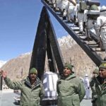
The recent incidents at the Pangong Tso lake area between Indian and Chinese soldiers on the LAC involve a picturesque lake, mountains, helicopters, fighter jets, boats, eyeball-to-eyeball confrontation, fisticuffs and injuries. Even if all the ingredients of a thriller drama are present, this is a far serious business between two nuclear armed trans-Himalayan neighbours that has implications beyond the region.
Line of Actual Control
The disputed boundary between India and China, also known as the Line of Actual Control (LAC), is divided into three sectors: western, middle and eastern. The countries disagree on the exact location of the LAC in various areas, so much so that India claims that the LAC is 3,488 km long while the Chinese believe it to be around 2,000 km long.
The two armies try and dominate by patrol to the areas up to their respective perceptions of the LAC, often bringing them into conflict and leading to incidents such as those witnessed in Naku La in Sikkim earlier this month.
The LAC mostly passes on the land, but Pangong Tso is a unique case where it passes through the water as well. The points in the water at which the Indian claim ends and Chinese claim begins are not agreed upon mutually.
Most of the clashes between the two armies occur in the disputed portion of the lake. As things stand, 45 km-long western portion of the lake is under Indian control, while the rest is under China’s control.
Eastern Ladakh forms the western sector, to the east of the Karakoram and Ladakh Ranges. It runs from the Karakoram Pass in the north — 18 kilometres from the country’s highest airfield at Daulat Beg Oldie which is now connected by a road to DS — to Chumur in the south, almost bordering Himachal Pradesh. Pangong Tso lies closer to the centre of this 826 km long disputed border in eastern Ladakh.
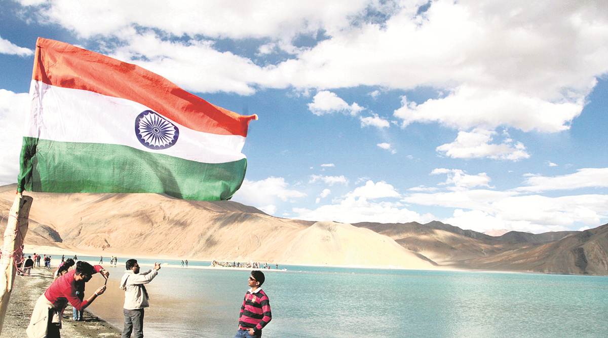
The Pangong Tso lake
Pangong Tso lake in eastern Ladakh has often been in the news, most famously during the Doklam standoff, when a video of the scuffle between Indian and Chinese soldiers — including kicking and punching, the throwing of stones, and the use of sticks and steel rods, leading to severe injuries — on its banks went viral on August 19, 2017.
It was a visual confirmation of what had been reported about the incident that took place on that Independence Day morning.
In the Ladakhi language, Pangong means extensive concavity, and Tso is lake in Tibetan.
Pangong Tso is a long narrow, deep, endorheic (landlocked) lake situated at a height of more than 14,000 ft in the Ladakh Himalayas. The western end of
Tso lies 54 km to the southeast of Leh. The 135 km-long lake sprawls over 604 sq km in the shape of a boomerang, and is 6 km wide at its broadest point.
The brackish water lake freezes over in winter, and becomes ideal for ice skating and polo. The legendary 19th century Dogra general Zorawar Singh is said to have trained his soldiers and horses on the frozen Pangong lake before invading Tibet.
Tactical significance of the lake
By itself, the lake does not have major tactical significance. But it lies in the path of the Chushul approach, one of the main approaches that China can use for an offensive into Indian-held territory.
Indian assessments show that a major Chinese offensive, if it comes, will flow across both the north and south of the lake. During the 1962 war, this was where China launched its main offensive — the Indian Army fought heroically at Rezang La, the mountain pass on the southeastern approach to Chushul valley, where the Ahir Company of 13 Kumaon led by Maj. Shaitan Singh made its last stand. This was made memorable in Chetan Anand’s 1964 war film, Haqeeqat, starring Balraj Sahni and Dharmendra.
Not far away, to the north of the lake, is the Army’s Dhan Singh Thapa post, named after Major Dhan Singh Thapa who was awarded the country’s highest gallantry award, the Param Vir Chakra.
Major Thapa and his platoon were manning Sirijap-1 outpost which was essential for the defence of Chushul airfield. The award was announced posthumously for Major Thapa, as reflected in the citation, but he was subsequently discovered to have been taken prisoner by the Chinese. He rejoined his unit after being released from the PoW camp.
Connectivity in the region
Over the years, the Chinese have built motorable roads along their banks of the Pangong Tso. At the People’s Liberation Army’s Huangyangtan base at Minningzhen, southwest of Yinchuan, the capital of China’s Ningxia Hui Autonomous Region, stands a massive to-scale model of this disputed area in Aksai Chin. It points to the importance accorded by the Chinese to the area.
Even during peacetime, the difference in perception over where the LAC lies on the northern bank of the lake, makes this contested terrain.
In 1999, when the Army unit from the area was moved to Kargil for Operation Vijay, China took the opportunity to build 5 km of road inside Indian territory along the lake’s bank. The 1999 road added to the extensive network of roads built by the Chinese in the area, which connect with each other and to the G219 Karakoram Highway.
From one of these roads, Chinese positions physically overlook Indian positions on the northern tip of the Pangong Tso lake.
Fingers in the lake
The barren mountains on the lake’s northern bank, called the Chang Chenmo, jut forward in major spurs, which the Army calls “fingers”. India claims that the LAC is coterminous with Finger 8, but it physically controls area only up to Finger 4.
Chinese border posts are at Finger 8, while it believes that the LAC passes through Finger 2. Around six years ago, the Chinese had attempted a permanent construction at Finger 4 which was demolished after Indians strongly objected to it.
Chinese use light vehicles on the road to patrol up to Finger 2, which has a turning point for their vehicles.
If they are confronted and stopped by an Indian patrol in between, asking them to return, it leads to confusion, as the vehicles can’t turn back.
The Indian side patrols on foot, and before the recent tensions, could go up to Finger 8.
The fracas between Indian and Chinese soldiers earlier this month happened in this general area at Finger 5, which led to a “disengagement” between the two sides.
The Chinese have now stopped the Indian soldiers moving beyond Finger 2. This is an eyeball-to-eyeball situation which is still developing.
Confrontation on the water
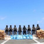
On the water, the Chinese had a major advantage until a few years ago — their superior boats could literally run circles around the Indian boats. But India purchased better Tampa boats some eight years ago, leading to a quicker and more aggressive response.
Although there are well-established drills for disengagement of patrol boats of both sides, the confrontations on the waters have led to tense situations in the past few years. The Chinese have moved in more boats — called the LX series — in the lake after the tensions which rose in the area from last month.
The drill for the boats is agreed upon by the two sides, as per the Standard Operating Procedure.
After a boat from the other side is spotted moving into own waters, an equal number of boats are despatched to confront the intruders. The boats stop about 20 feet apart, and both sides unfurl the banners. Both banners are on red cloth, with white lettering. “You are in Indian waters. In the interest of peace and tranquillity, we urge you to return,” reads the text in English and Mandarin on the Indian banner.
“You are in an inland Chinese waterway,” says the Chinese one in English and Hindi.
The patrol leaders on the respective boats then shout out the same messages using loudhailers.
The Indian patrol leader uses an interpreter to deliver the message to the Chinese patrol in Mandarin. The standoff continues for about 10 minutes, each side asks for their banners to be lifted.
Another set of banners is then unfolded by both sides, which reads: “In the interest of peace and tranquility we are returning to our side and we trust you will do the same”. The boats then move away and return to their respective sides.
But what happens if one of the Chinese boats suddenly start making an aggressive move, like trying to get into Indian waters?
An Indian boat then tails it, first giving it a chase and then circling it with high speeds. Called a “whirlpool,” this tactical manoeuvre traps the aggressor boat in high currents, forcing it to return as it begins to dip into an eddy.
Out of bounds for tourists
Finally, if you go as a tourist to see the lake that the climax scene of Aamir Khan’s 3 Idiots made famous, will you be able to travel up to the Chinese border?
No, because tourists are only allowed up to Spangmik village, around 7 km into the lake.
In fact, tourists were not allowed at all at Pangong Tso until 1999, and even today, you need to obtain an Inner Line Permit from the office of the Deputy Commissioner at Leh.
https://defencenewsofindia.com/india-china-conflict-in-ladakh-the-importance-of-the-pangong-tso-lake/